Weather: ☀️☀️☀️☀️☀️
Picnic: 🥪🥪🥪🥪 (4 out 5, bread from the bakery and fruit from the supermarket in a park across the street from the shops)
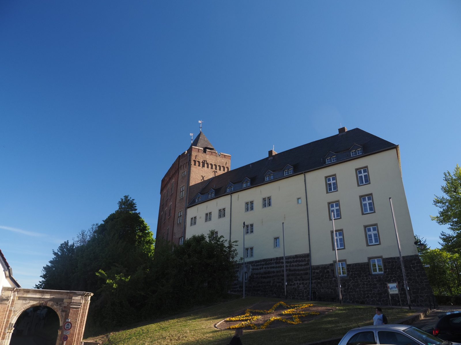
Track: 🇩🇪🇩🇪🇩🇪 (3 out of 5, nice trail through forest and farmland. Kalkar town was really nice.)
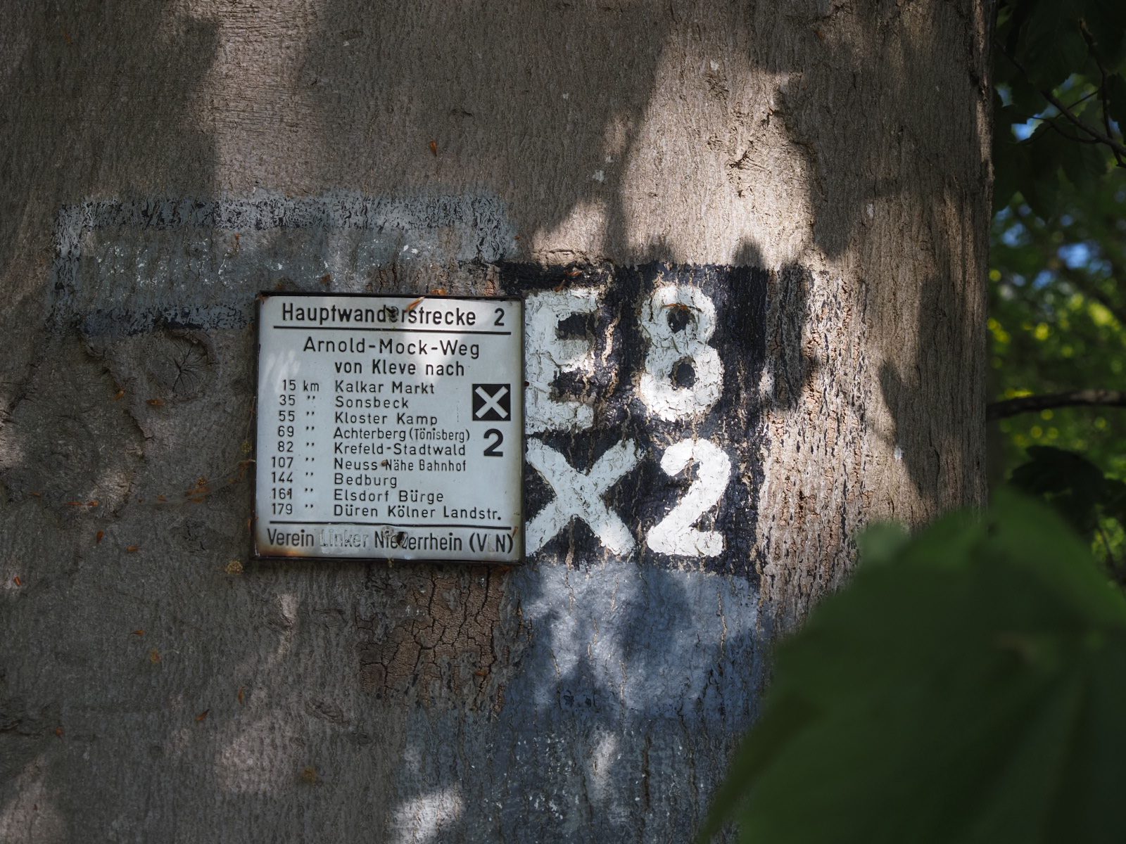
Route markings and GPX: (🔎🔎🔎🔎 4 out of 5 magnifying glasses, because it was quite the search. The markings were ok, but didn’t match the ERA GPX file… that made following the E8 route really hard today!)
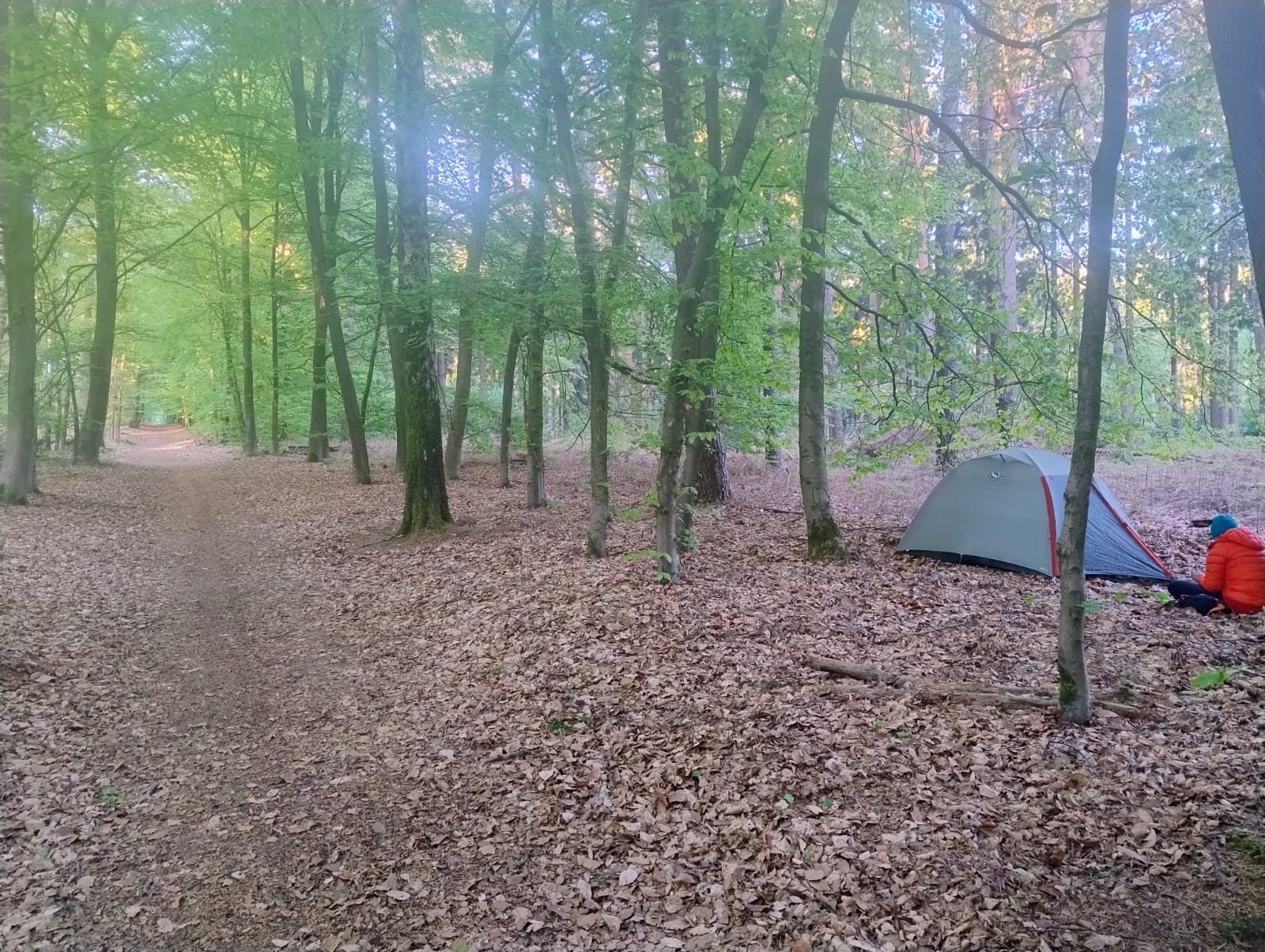
Campsite: ⛺⛺⛺ (3 out 5, nice flat spot in the forest, but a little bit too close to the path to my liking)
Name of followed trail: X2/ E8 (for today I’d say: an interpretation of…)
Special mention: Laugenecke (really tasty German rolls)!
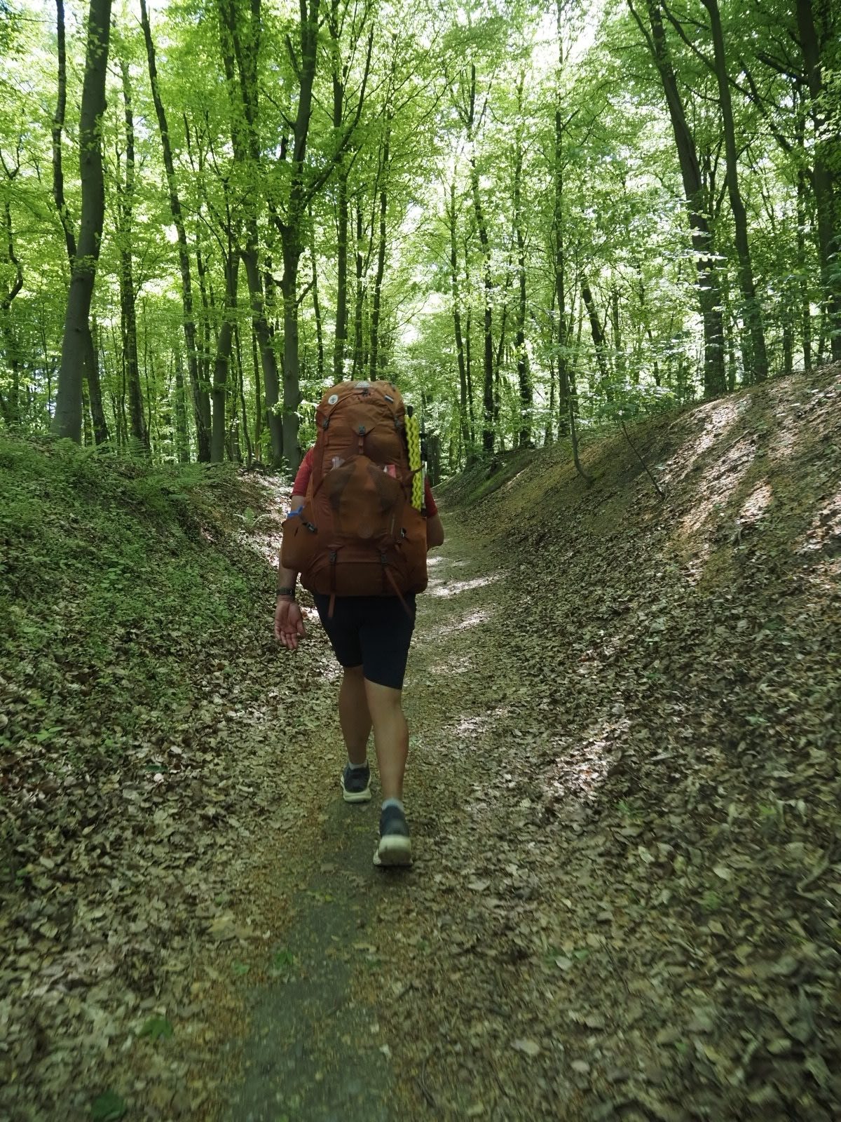
We packed our gear and get started in our 4th country. In 8 days we’ll hike to Aachen. Here E8 is made up out of a lot of smaller trails, but for the part to Aachen we only need to follow X2. We found out that that’s harder than it seems!
We normally follow the route markings on trail and use my GPS watch as a backup. Sometimes they don’t match and we decided which one to follow at the spot. Yesterday I found that my Komoot version of the trail differed from the one on the ERA website. So I used the one from the site, thinking that would be more accurate. Today it wasn’t, so we lost the trail quite a few times today. That felt frustrating, but hopefully it will be better tomorrow. I’ll use the Komoot file and will see if this works better.
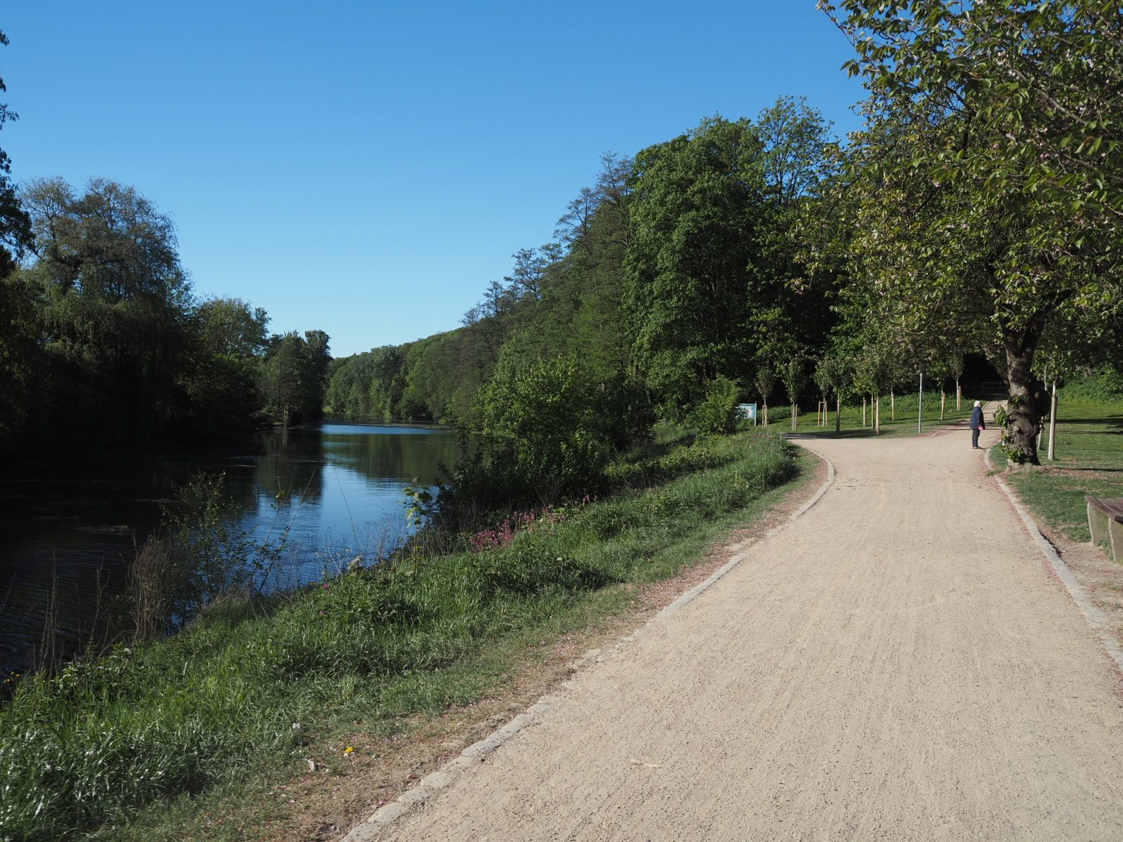
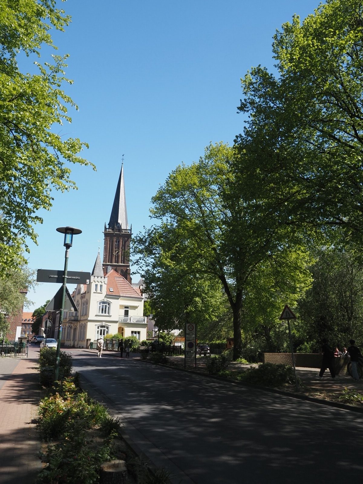
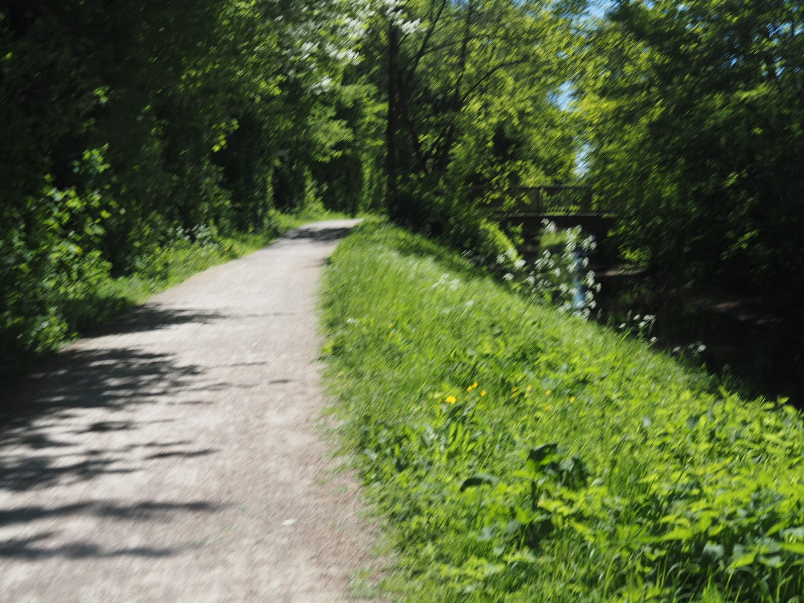
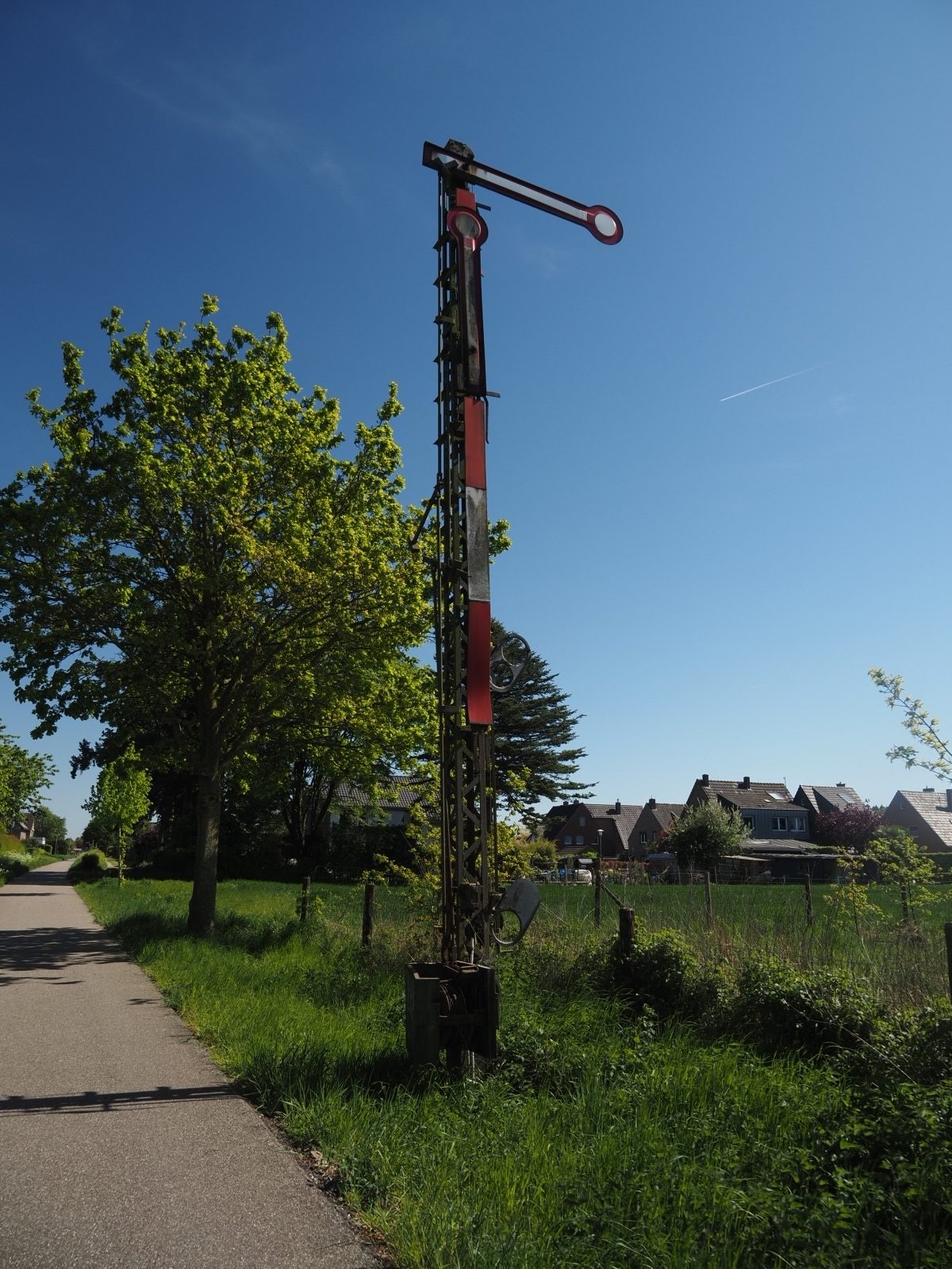
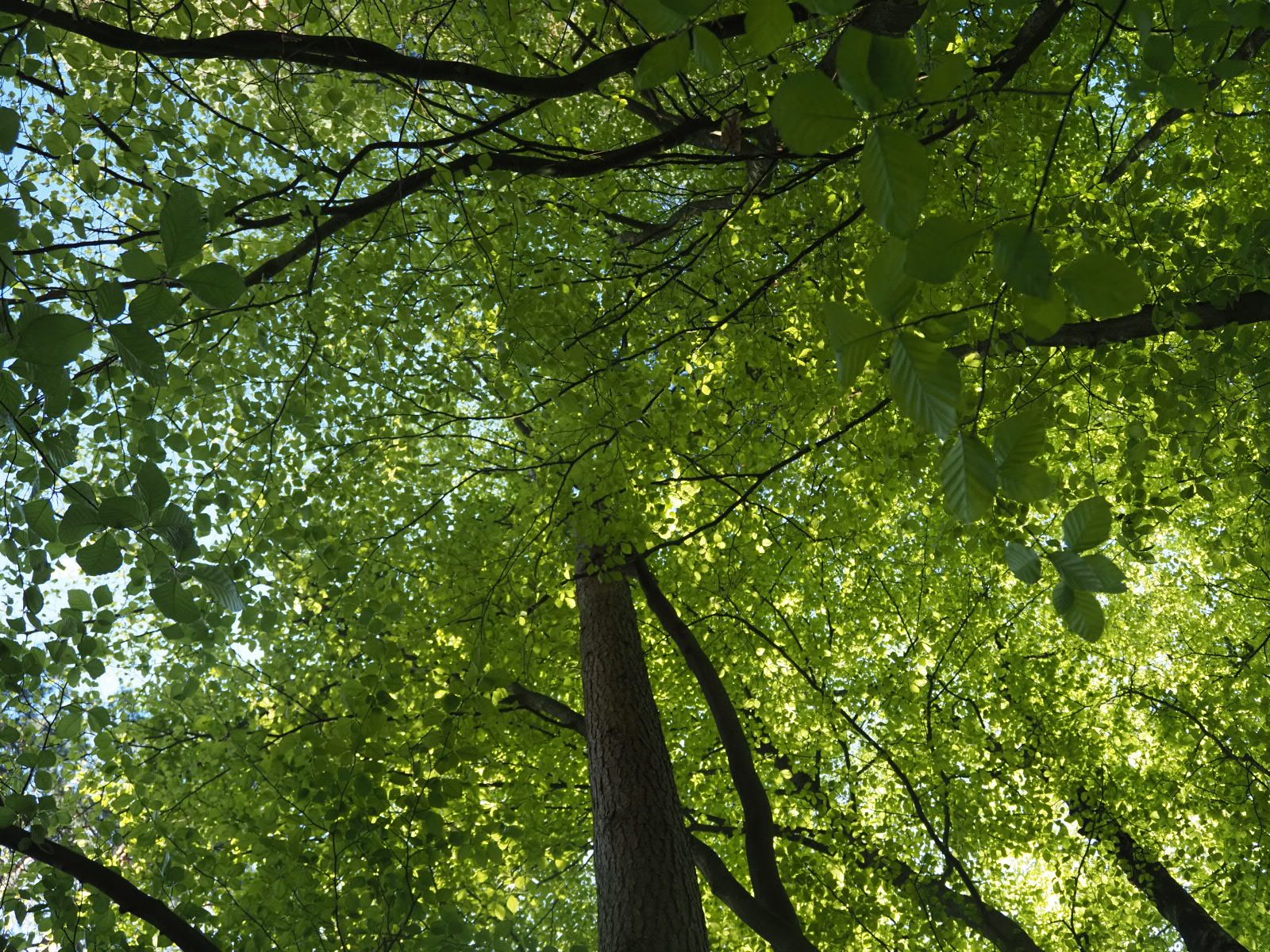
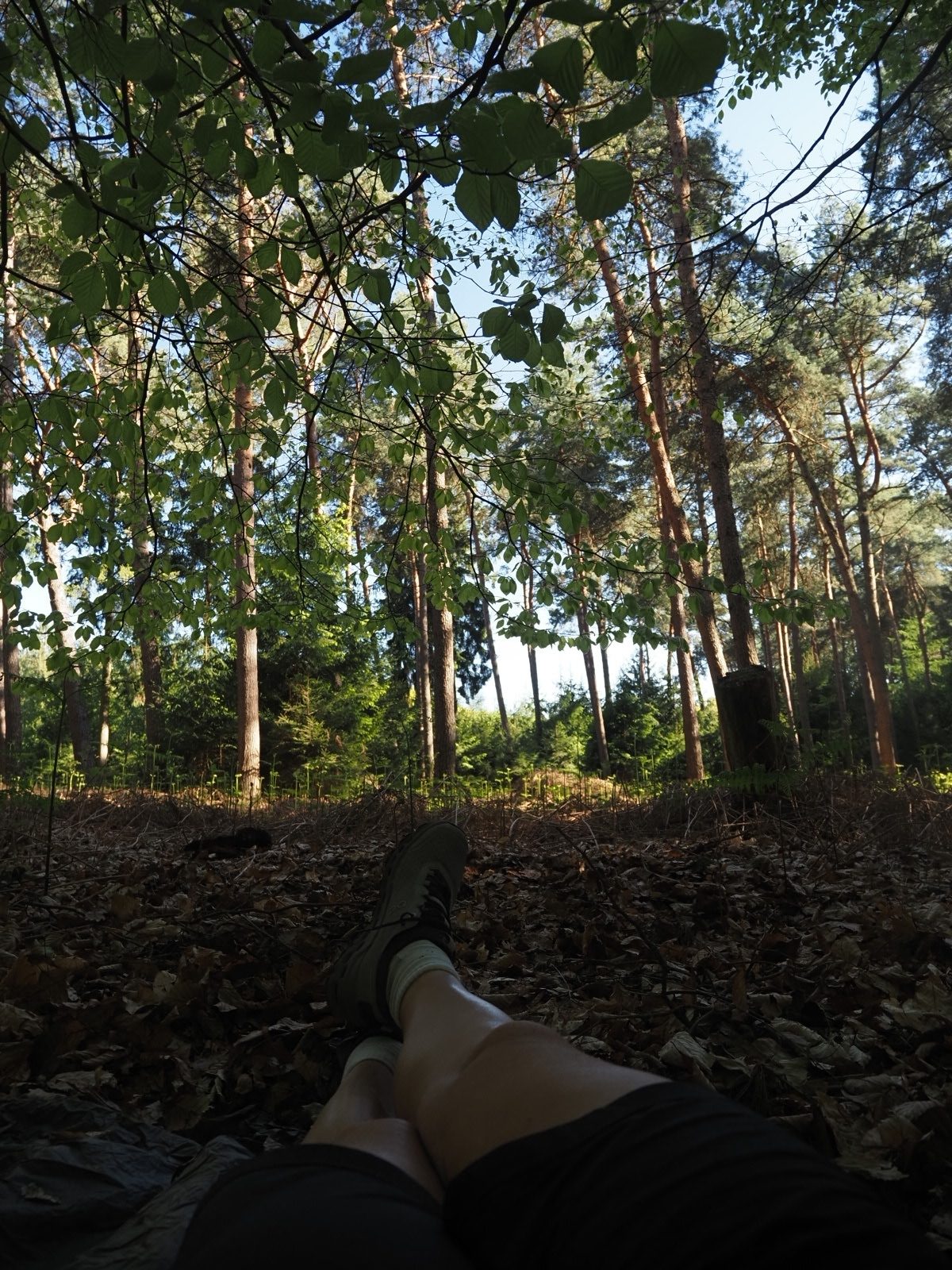
Still on trail and unaware of the navigation issues to come, we leave Kleve along the river and through forest. We are hiking really old roads today, that have been in use for centuries. The trail is also part of the St Jacobs way to Santiago here.
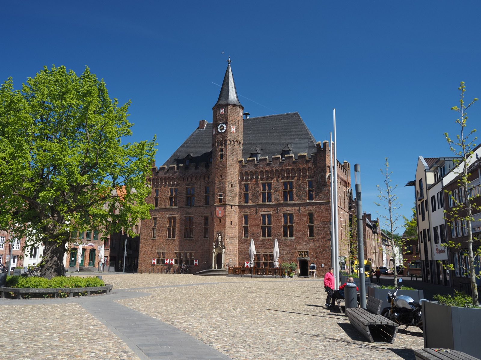
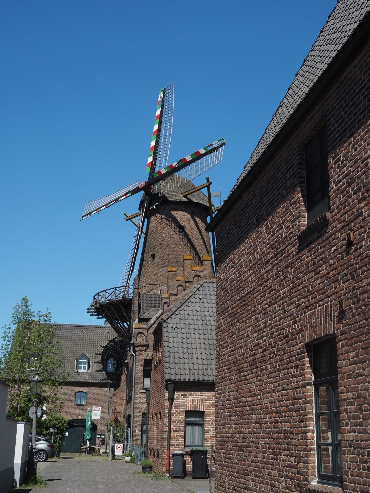
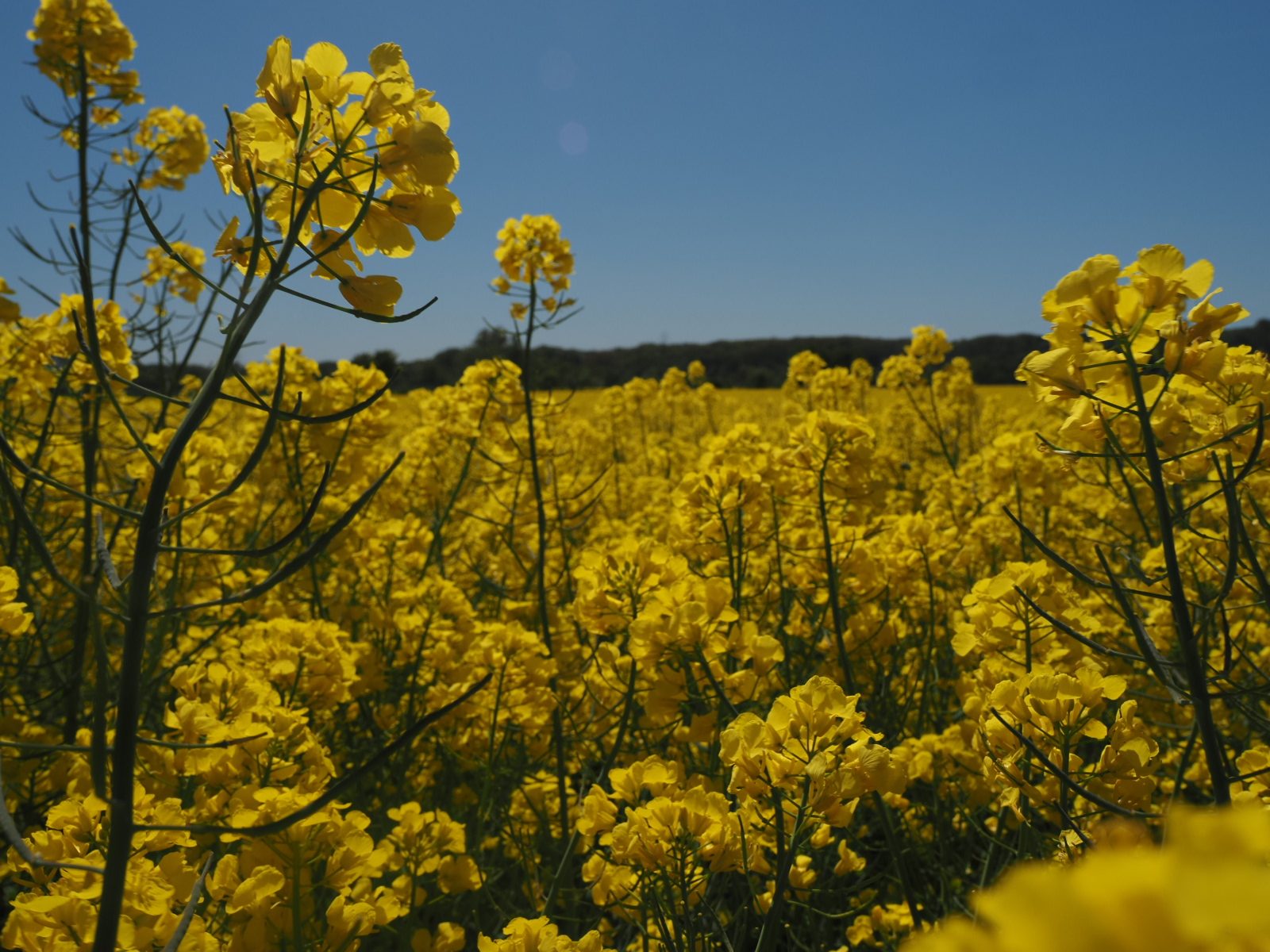
We go through farmland and hike into Kalkar, a medival town, to get some lunch. Mark is really happy to see his favorite rolls here, Laugenecke. Triangular rolls made from fluffy buttery dough so the become something between croissant and roll. We’re both big fans of these 😋. We get some fruit and drinks and find a nice spot to eat it all. We decide that we will call it a picnic when we eat outdoors without a café/ restaurant. Otherwise it’s called lunch 😅.
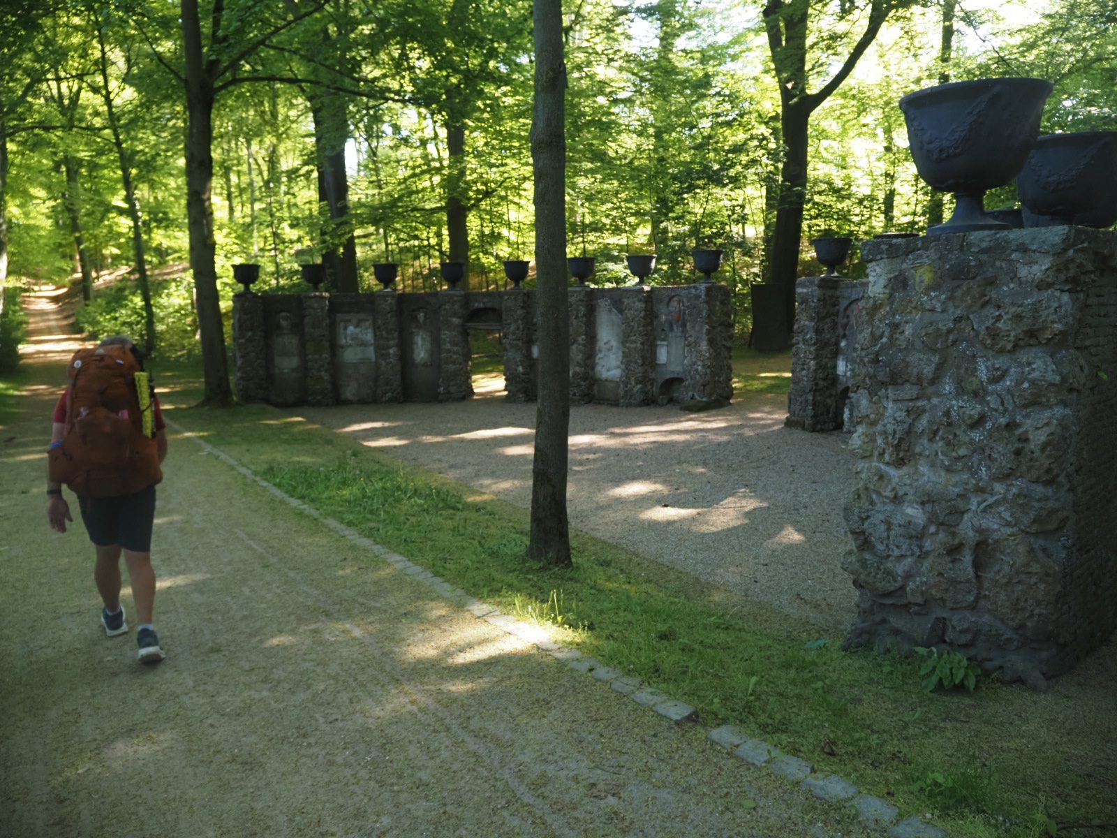
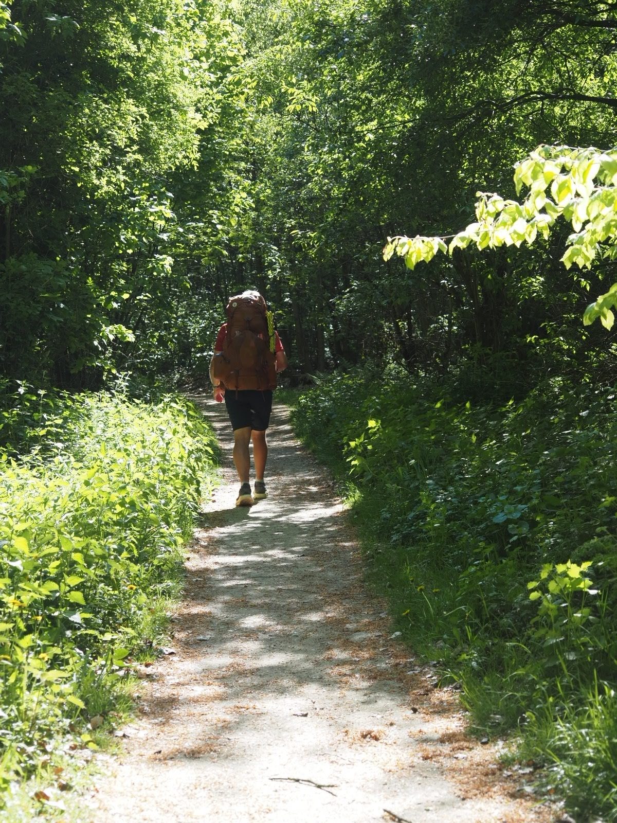
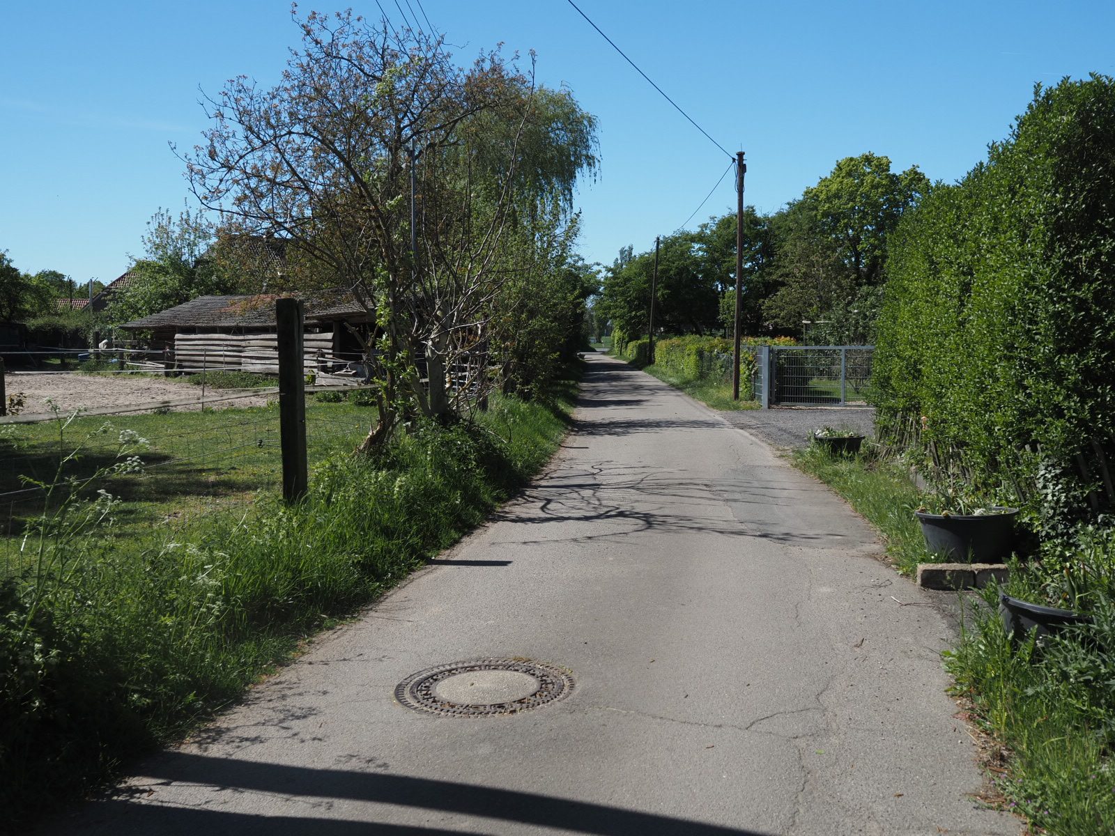
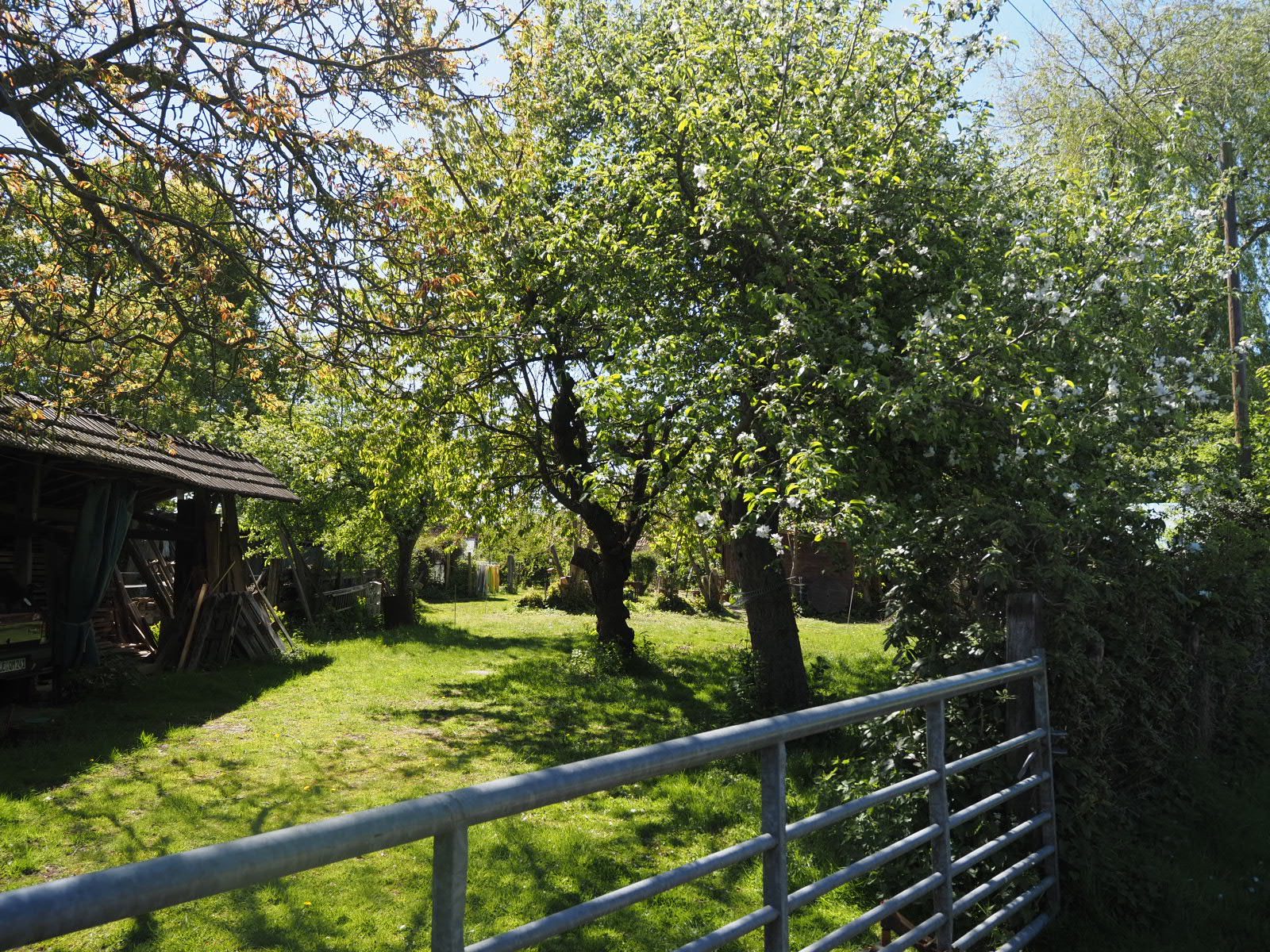
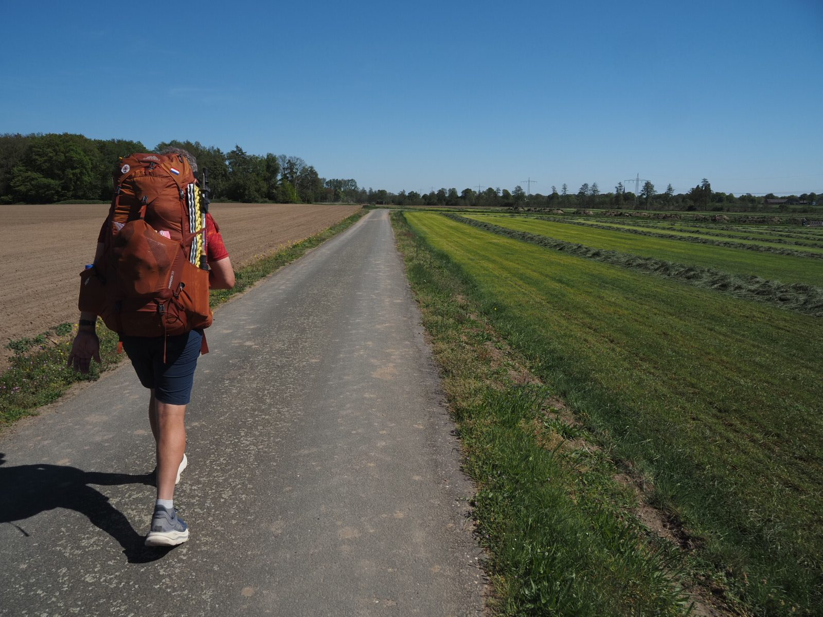
From Kalkar we walk along a stream and into a farmland area with cattle, grassland and fields until Mariënbaum. Here we ask for water and get into the forest again. Past the radar station, we find our campspot. Because the forest is really open here, there is no use in trying to hide. So we pitch next to the trail. It feels a bit uncomfortable, but going far off the trail, still in plain sight makes no sense either… The few walkers and mountain bikers that pass by just say hello, so I guess Germans are ok with free camping too…