Weather: ☁️☁️🌧️☁️☁️
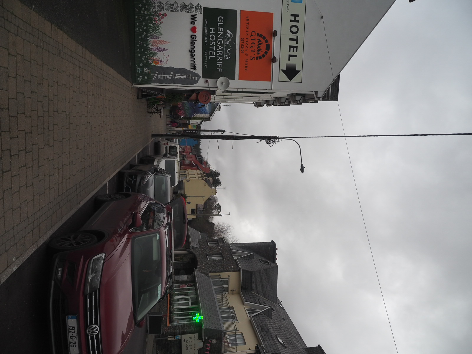
Picnic: none, but great toasti’s at Gigi’s in Glengarrif!
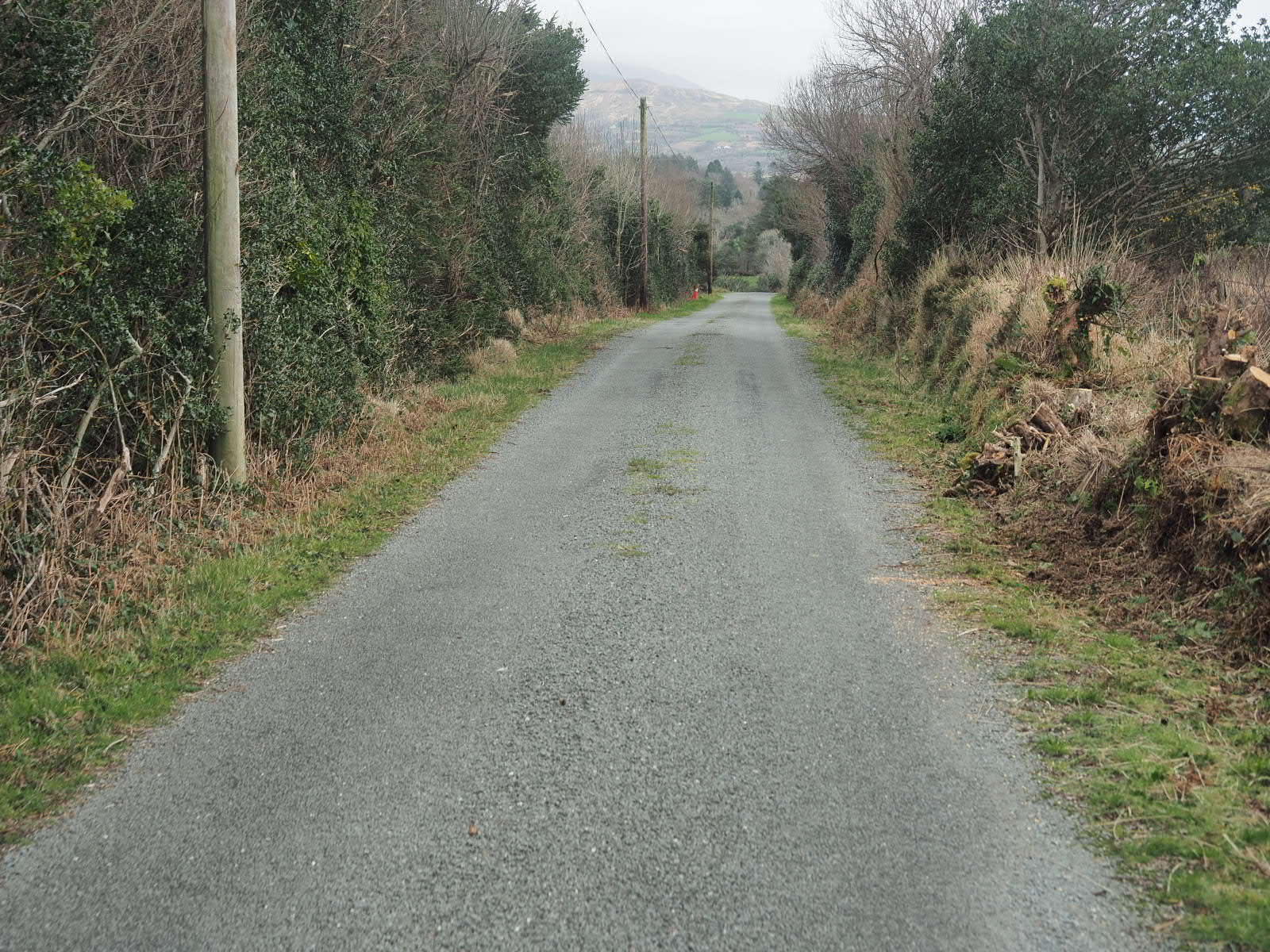
Traction on track: 🍌🍌🍌🍌(4 out of 5 bananas for the first 6 km, then 👟👟👟👟👟 5 out of 5 for speedy walking, because all was paved road)
Trail depth: deepest step was 20 cm deep in mud. Deepest hikingpole still about 50 cm into the boggy ground.
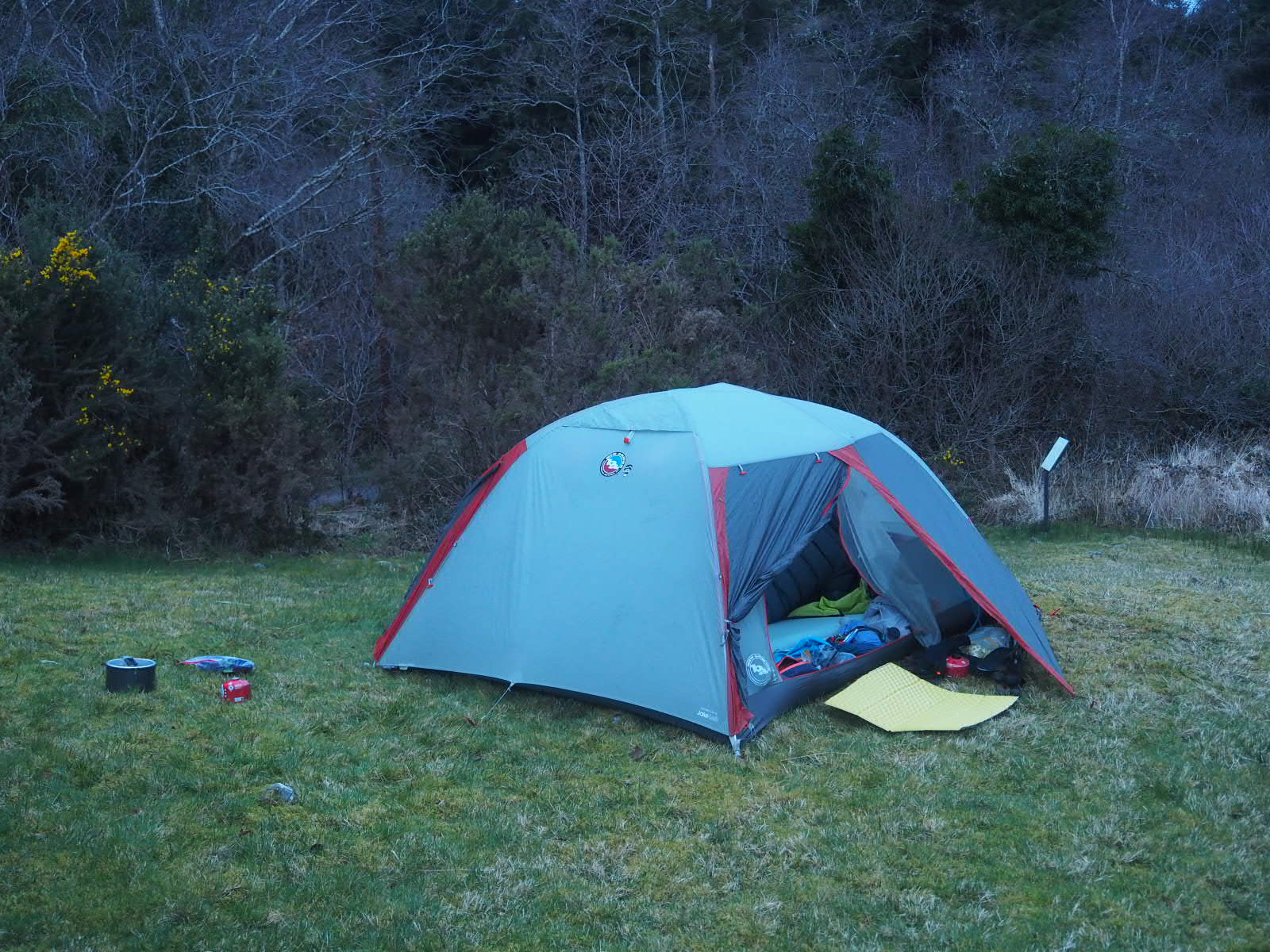
Trail magic: after 30 km of hiking we look for water and a spot to pitch. We hear machinery and find Kerry, who brings us water and points us a great camping spot!
Campsite: ⛺⛺⛺⛺⛺ (5 out of 5, sheltered and flat, dry even ground at an historical site!)
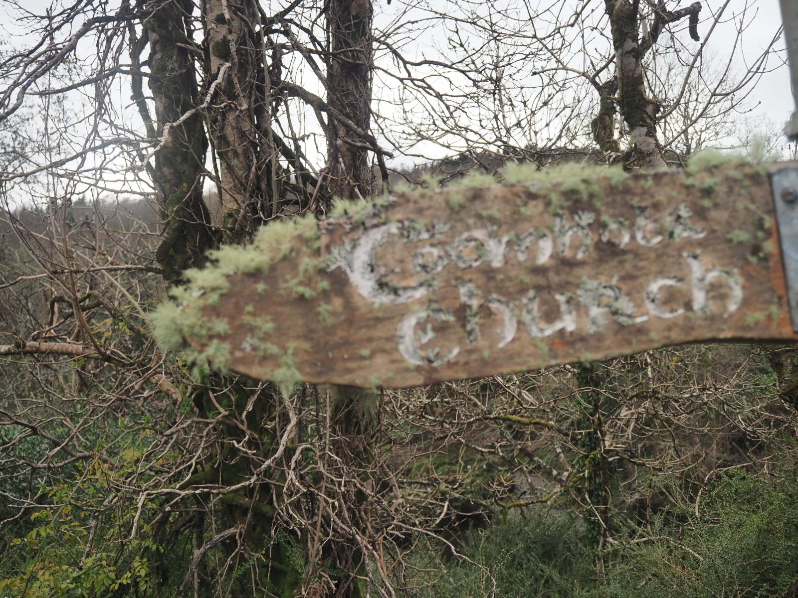
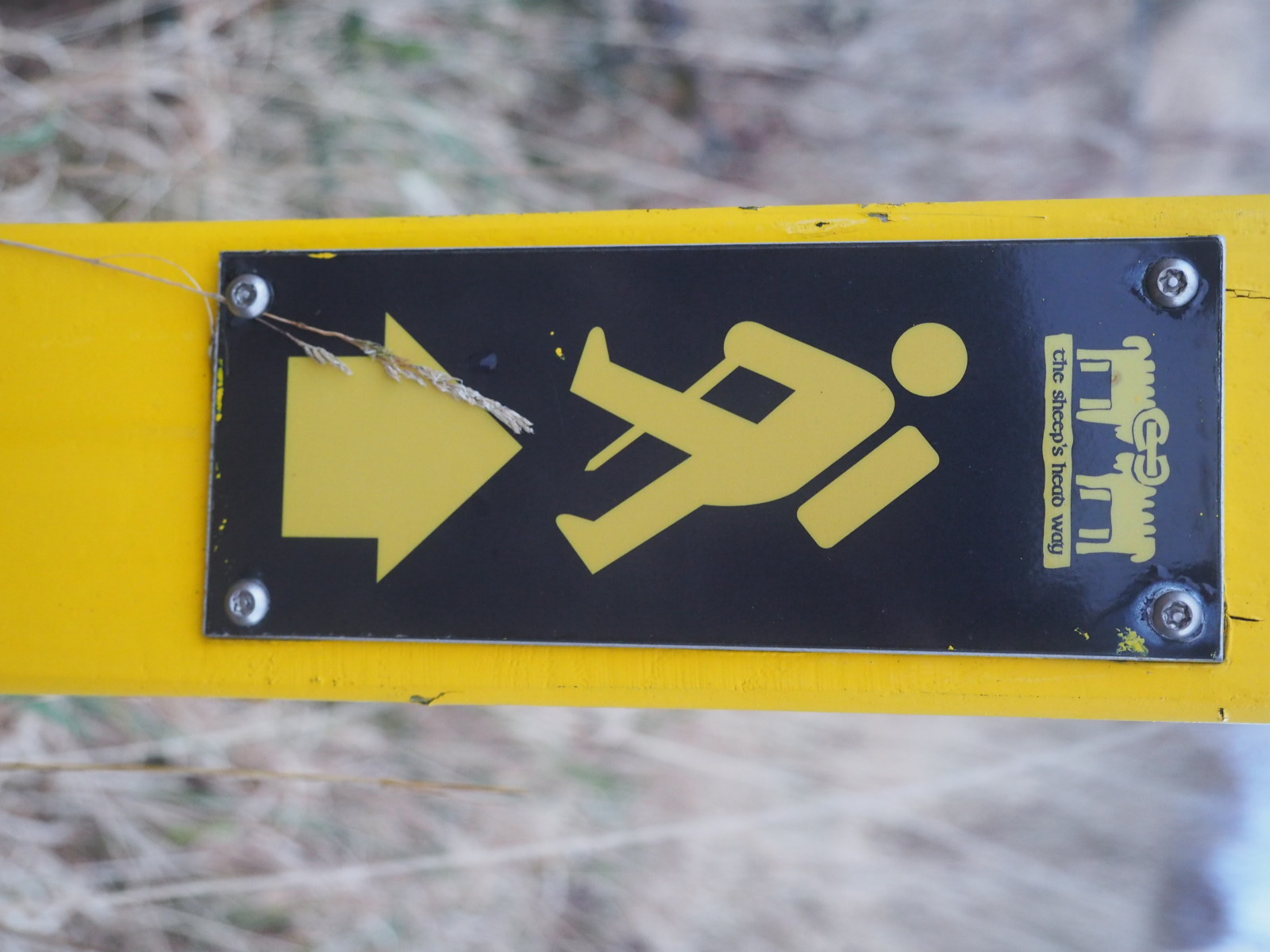
Name of followed trail: Beara way
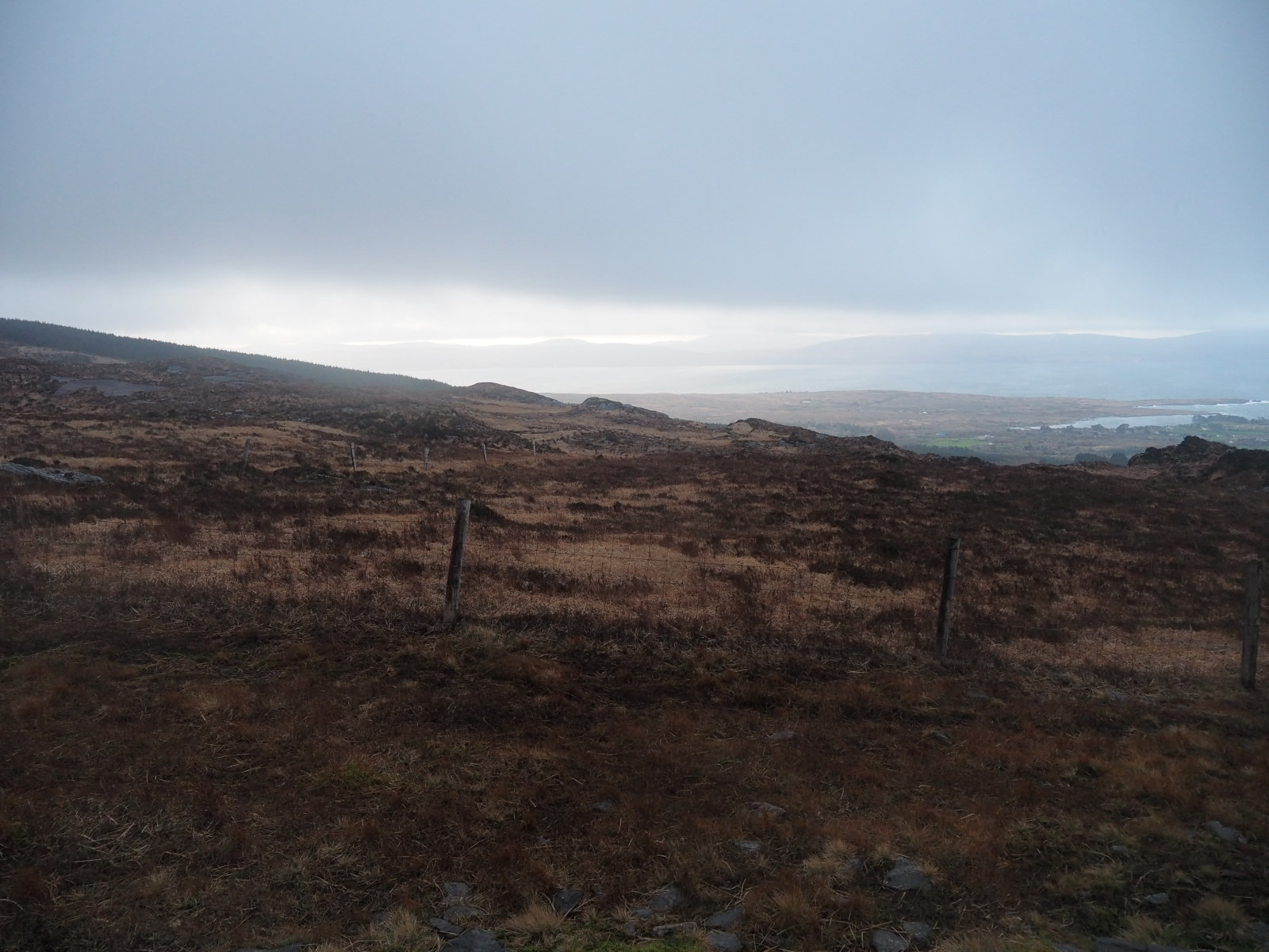
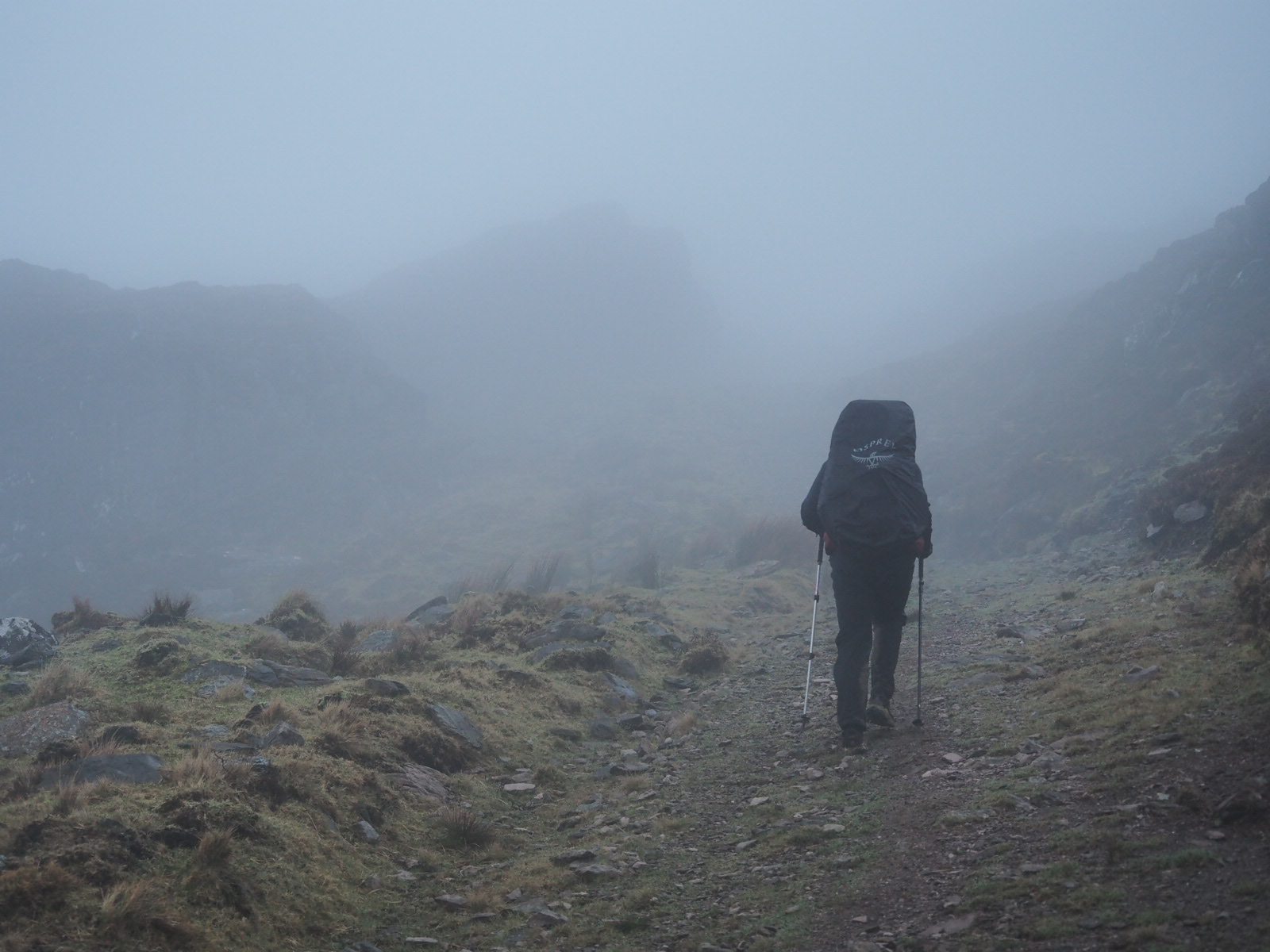
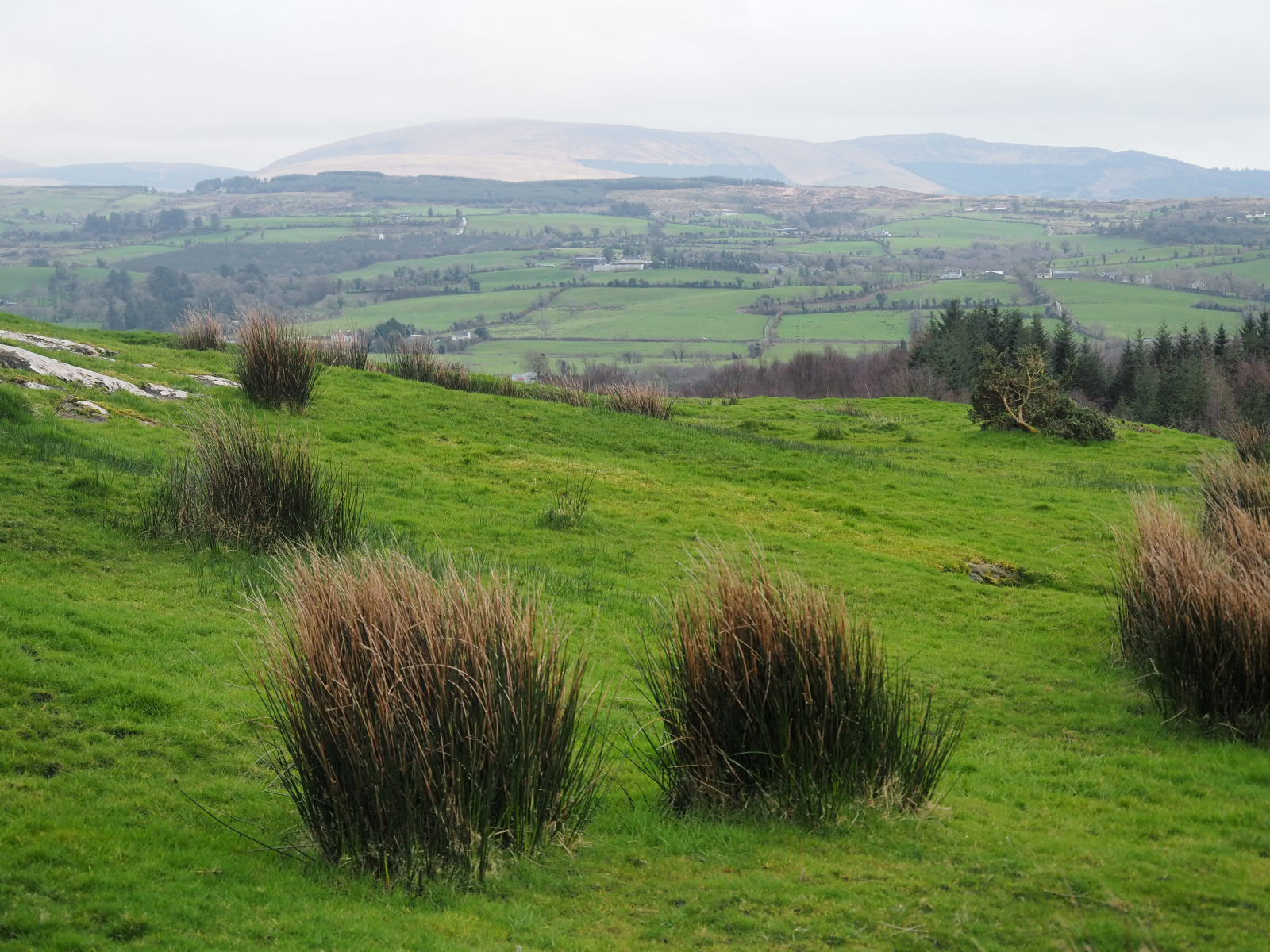
We woke up in a bigger world than expected ! The clouds were coming down yesterday evening, and we expected to be in the clouds, not under them! Little things do count!
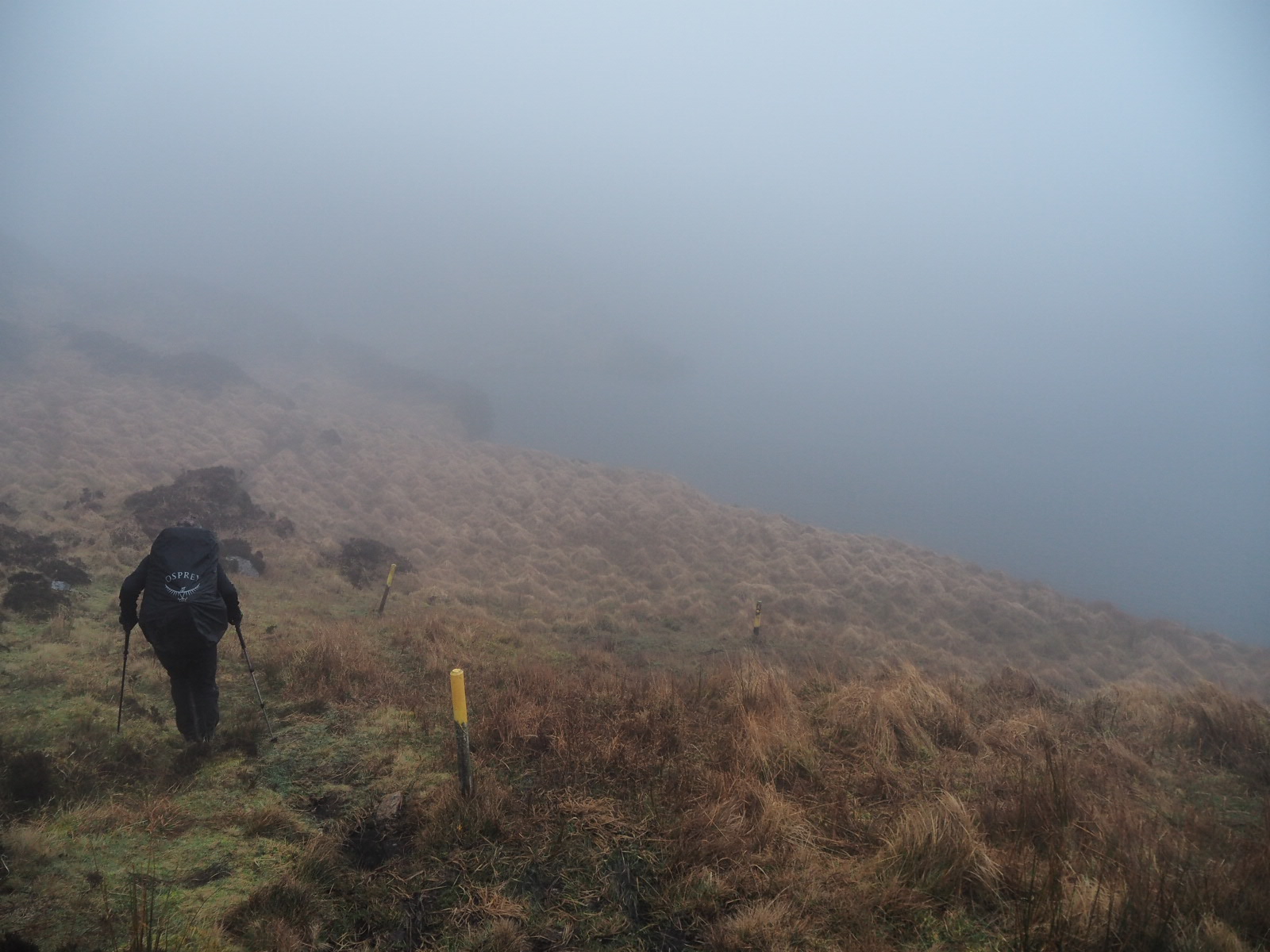
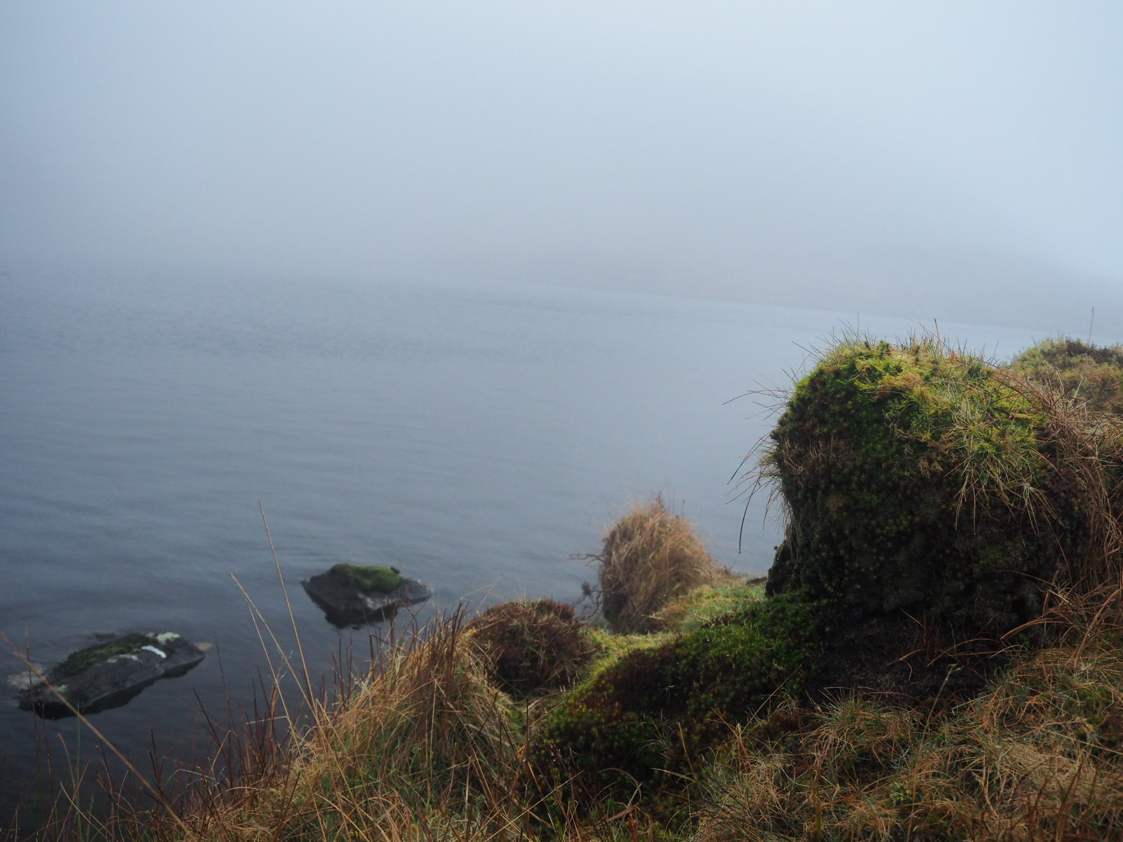
We leave early again, not sure what is ahead. After breakfast we continue our climb of Sugar loaf hill. The trail is still tough, but less tough than the first couple of days. Soon we indeed are in the clouds, but the trail is really well marked. On top we go past a tarn, a mountain lake. It looks really mystical in this weather and it’s easy to see where the stories of fairies and leprechauns come from.
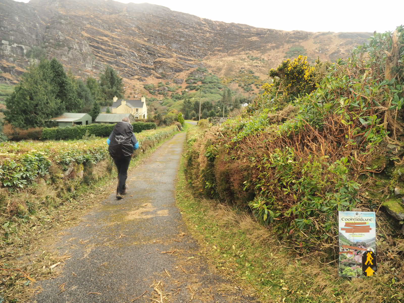
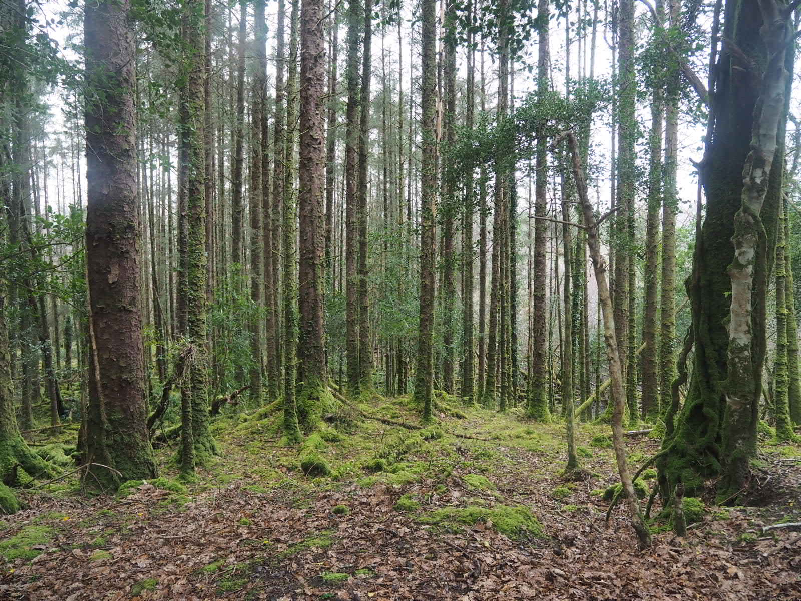
We slowly make our way down the mountain . It’s an arduous job! We are again happy to have pitched our tent when we did, because it would have been really hard on the planned spot. From the road we make our way through a lovely forest to Glengarrif where we have lunch and again give our noddles an upgrade for tonight.
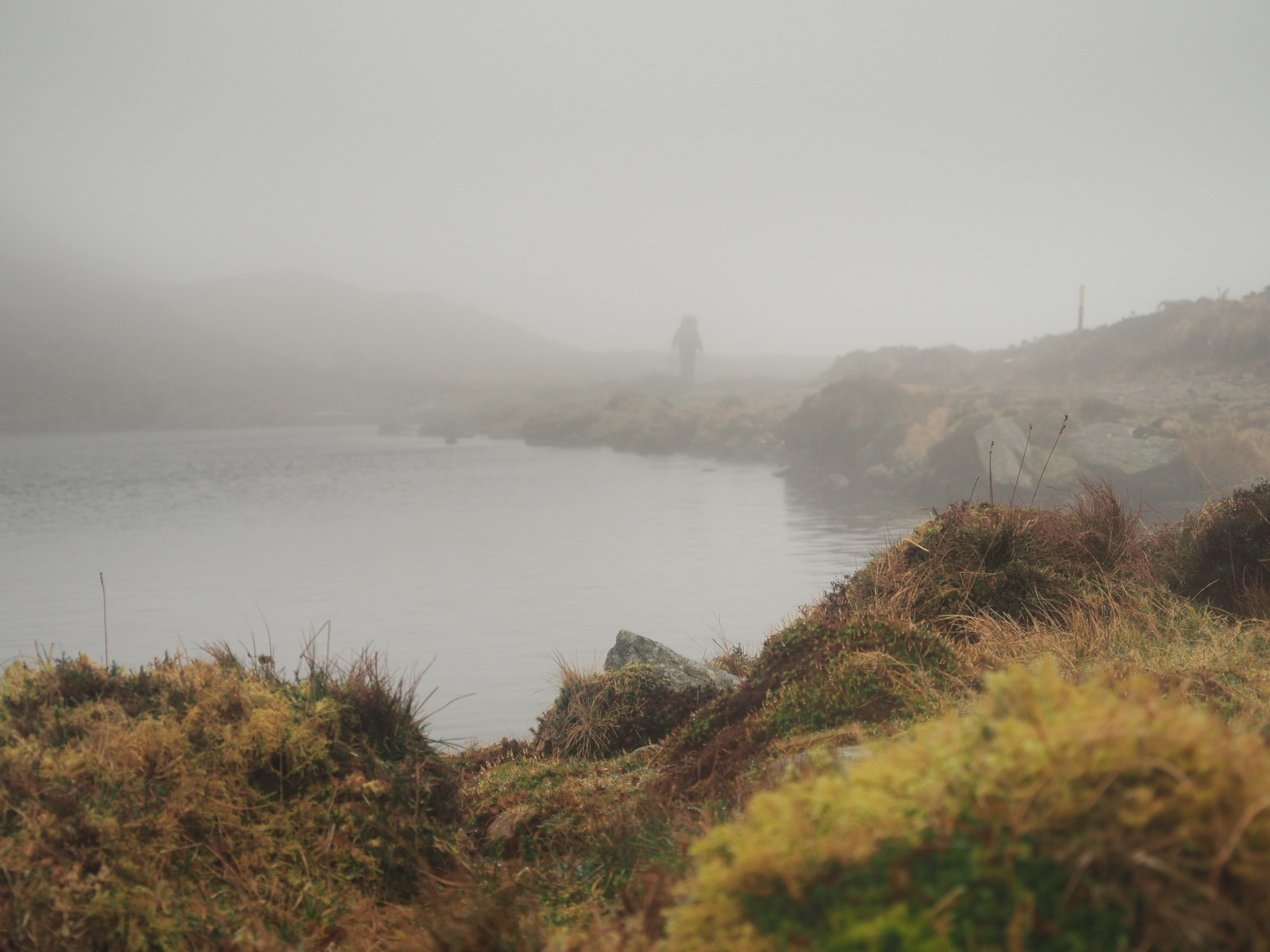
From Glengarrif it’s a long road walk to the planned campsite, but we’re happy to finally make some progress! At a steady 4 km/h we hike through the hills towards Kealkill. The only problem we have us water. In the peaty lands we hike there are rivers and streams, but the water is not that appetizing. We have a waterfilter and will use it if we must, but we’d rather ask someone for water. And while there were plenty of houses an hour before, when it is time to stop, no houses are to be seen…
When we pass a sign where the Bears way splits towards Kealkill and a castle, or towards a lake, we decide to take our chances there. It’ll take of a few km of our planned trail, but still is the Bears way, so we go for the option with water. When we get close to the lake, we hear machinery. There must be someone around to ask where we can pitch and get some water then! We find Kerry, a friendly and helpful farmer that shows us the best campsite yet. She even takes our waterbags to fill them up at her house while we pitch our tent (“I hope nobody will ask what I’m up to, because these look like blood bags…😅”)
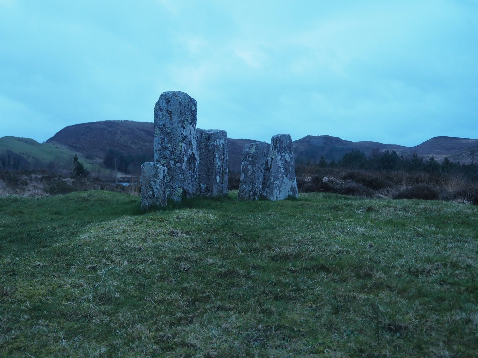
We find a spot at the Maunghanasilly stone row, an historical site from the bronze age. What a great place to be! We are grateful to spend the night here, and that’s not only because we hiked 32km today!